
 |
 |
|
#1
|
|||
|
|||
|
Not necessarily super helpful for the alternate history late-90s, but I found this outstanding interactive map for current (not sure how current exactly) force dispositions. It shows known unit positions, airbases, and various other installations. Rough OOBs for each unit if you click on them.
https://www.gfsis.org/maps/russian-military-forces |
|
#2
|
||||
|
||||
|
That is a pretty cool google map application.
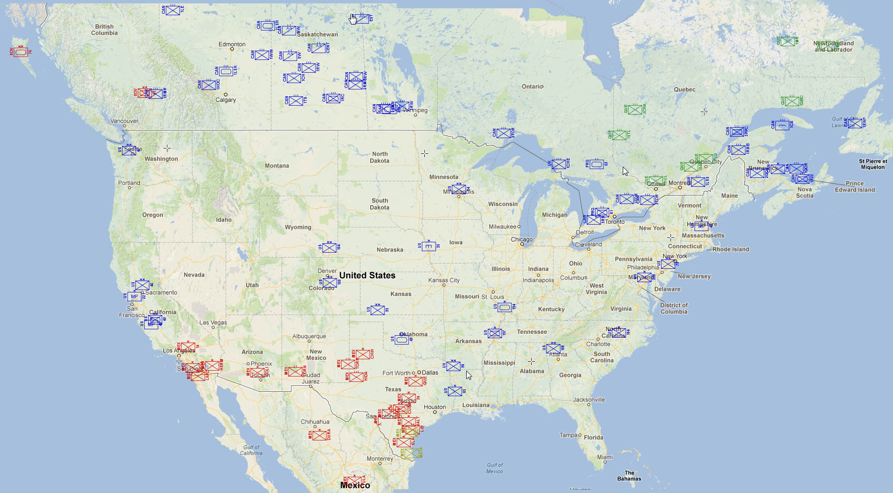
I had done similar many years ago but the Google API has been updated twice since then (breaking about 1000 hours of work) Here are some examples I saved. CONUS Unit locations  UK nuke strikes  US helium refinering locations (different map tool)  Galvinston Fallout patterns (yes I looked up historical weather for Late Nov 1997)  If anyone wants the data let me know. |
|
#3
|
|||
|
|||
|
That's pretty good stuff. Helium refining, eh?
|
|
#4
|
||||
|
||||
|
Airlords of the Ozarks. The team was looking for resupply.
I actually have most of the following church, hospital, school, chemical plant, nuclear plant, hydro plant (there are thousands in the us - mostly small), steel mill, Ethanol plant, mines, oil and gas storage, natural gas fields, military bases, mineral processing plants, nbc facilities, radio towers, plus many others I am not remembering. It was purposed for a morrow project game, as you drove around the map would tell you what of the above were the closest. The T2k use was to hopefully populate a wiki for every county. If I ever get 200 free hours I might put it back in service, but google charges now if something gets popular. 
|
|
#5
|
||||
|
||||
|
That's awesome data you've got. You're on so many watch lists now though. But it's for a good cause.
As for mapping your data does OpenStreetMap have a similar third party API, at least some of the functionality, to build the same sort of thing? OSM may not pull the rug out from under you like Google. I've not used OSM's API so I don't know it's limits or functionality. |
|
#6
|
||||
|
||||
|
Quote:
Most of the data I got from govt sources. EPA databases will give you all sawmills for example. |
|
#7
|
|||
|
|||
|
Well hey if you happen to be a mapping analyst, I may need some help deciphering what some of the weird stuff I've found in Russia is.
|
|
#8
|
|||
|
|||
|
Quote:
|
 |
| Currently Active Users Viewing This Thread: 1 (0 members and 1 guests) | |
|
|